Access Accurate Land Records Instantly with Nilam Smart App
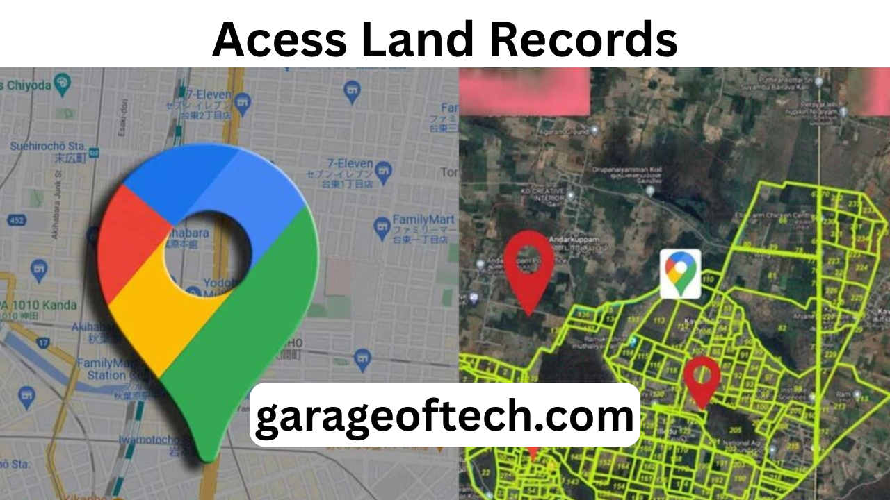
For generations, land records in Tamil Nadu lived in dusty files, locked inside government offices, and accessible only after long waits and multiple visits. Farmers, students, government officers, and real estate buyers often faced delays, confusion, and even disputes due to unclear or misplaced records. Today, this reality is changing with the Nilam Smart App (TamilNilam Geo-Info), a digital platform that places accurate land information directly into the hands of citizens.
This innovative step in e-governance is more than a technological upgrade—it is a complete transformation in how people interact with the land beneath their feet. Whether you are a farmer wanting to confirm the size of your field, a buyer checking ownership records, or an officer planning rural development, Nilam Smart App makes information transparent, fast, and reliable.
Bridging Gaps in Rural Access
In the past, villagers had to travel miles to taluk or revenue offices just to verify a land sketch or boundary. If a document was missing or delayed, farmers lost days of work and money on travel. Worse, these delays often triggered disputes among neighbors.
The Nilam Smart App bridges this gap by giving farmers instant access to FMB (Field Measurement Book) maps and survey data. A farmer can now sit under a tree, open the app, and confirm boundaries within minutes. This not only saves time but also reduces transportation costs, bringing technology to match the pace of village life.
Empowering Government Officials
Village Administrative Officers (VAOs) and other local officials once worked with bundles of paper maps and handwritten records. Errors were common, and political pressure often complicated updates. With Nilam Smart App, officials can quickly pull up cadastral maps, verify survey numbers, and confirm ownership details with confidence.
This reduces mistakes, speeds up administrative work, and ensures decision-making is based on verified digital coordinates rather than outdated sketches.
Real Estate Transparency
For buyers and investors, land dealings have always carried risk. Many purchased plots without checking ownership history or overlapping claims, only to face disputes later. The Nilam Smart App changes this by allowing users to:
- Verify exact dimensions of a plot
- Check ownership history
- Confirm survey details before making a payment
This ensures real estate transactions become more transparent and secure, protecting both small buyers and large investors from fraud.
Supporting Students and Research
Agricultural and geospatial students often conduct field surveys as part of their studies. Earlier, they needed government permissions and had limited access to official maps. With Nilam Smart App, students can access authentic, updated data for their projects.
This strengthens their knowledge of geospatial mapping and rural land records, while also encouraging them to explore solutions for future governance challenges.
Local Dispute Resolution
Land disputes are one of the biggest causes of rural stress and legal battles. Cases drag on in courts for years, costing families time and money. With geo-referenced maps available in the Nilam Smart App, villagers can settle disagreements at the panchayat level itself.
Families can compare digital records and come to mutual agreements without escalating issues to lawyers or courts. This saves money, preserves social ties, and strengthens local governance.
Role in Disaster Relief
Tamil Nadu’s coastal areas face frequent floods and storms. During natural disasters, it is critical to quickly identify affected farmlands and houses. Nilam Smart App helps field officers check whose land was damaged, making relief distribution faster and fairer.
This not only improves disaster management but also ensures that genuine victims receive timely help.
Data for Smarter Governance
Governance depends on accurate, real-time data. Scattered and outdated land records make planning difficult for officials. Nilam Smart App centralizes crucial information, such as:
- Field measurements
- Cultivable area data
- Encumbrances (legal liabilities on land)
District Collectors, planners, and urban developers can use this data to design irrigation projects, housing schemes, and road networks. In short, the app supports evidence-based decision-making for long-term development.
Encouraging Citizen Participation
Traditionally, rural citizens had little involvement in land governance beyond paying land tax. Nilam Smart App opens the door for greater participation. Citizens can:
- Cross-check official records with ground reality
- Flag mismatches or errors through grievance tools
- Contribute to correcting inaccuracies
This creates a crowdsourced feedback loop, which improves record accuracy and makes the system more accountable.
Building Trust in Digital India
One major challenge of digital governance in India is trust. Many elderly landowners hesitate to rely on online systems. Nilam Smart App builds confidence by showing digital maps that match traditional pattas. As users see accuracy in action, they gradually begin to accept digital processes like e-signatures and online mutations.
This strengthens India’s broader mission of Digital India, where transparency and accessibility go hand in hand.
Beyond Agriculture
Though agriculture dominates rural land use, Tamil Nadu’s urban fringes are rapidly expanding. New housing layouts, commercial plots, and infrastructure projects require reliable land records. Nilam Smart App proves useful here as well, helping:
- Developers plan drainage, roads, and utilities
- Home buyers check whether their land falls under restricted zones
- Investors avoid plots marked for highways or government projects
This prevents legal hurdles and protects long-term investments.
User-Friendly Design
Many government apps fail due to poor design and heavy data usage. Nilam Smart App succeeds because it is simple, Tamil-first, and lightweight. Even in low-network areas, maps load smoothly. Icons are clear, menus are intuitive, and the app was designed after consulting local officers and users.
This user-centric approach ensures the app is not just functional but also genuinely helpful in real-world village conditions.
Conclusion: A Gateway to Transparent Land Records
The Nilam Smart App (TamilNilam Geo-Info) is not just another government initiative—it is a powerful step toward transparency, accountability, and empowerment. By giving instant access to authentic land data, it removes middlemen, reduces disputes, and builds trust in digital governance.
For farmers, it means peace of mind. For buyers, it means security. For officials, it means efficiency. And for Tamil Nadu, it represents a leap forward in building a truly inclusive, digital future for land governance.